In this Orbital Technical Bulletin, we would like to highlight our experience with our use of Field Technology.
Orbital Field Technology Services
Orbital applies advanced technology to solve problems in the Utility Industry. Our Advanced Data Collection solutions reduce costs, minimize worker exposure to safety hazards and eliminate plant and equipment outages to perform aerial surveys and ground surveys. Orbital adds value beyond simply collecting data by applying more than 50 years of engineering and inspection experience to provide specific technical recommendations and engineered solutions.
Orbital Engineering’s Technology Capabilities
- Unmanned Aircraft Systems (UAS)
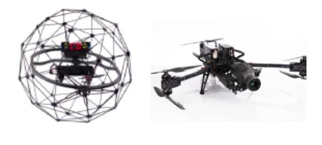
- Caged Drone
- Quadcopter
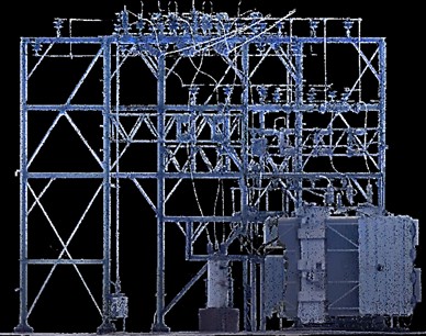
- 3D Capture – Photogrammetry
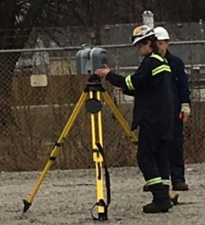
- Tripod Laser Scan
- Highest Resolution 3D Laser Scan
- 10MP Res. Integrated HDR Camera
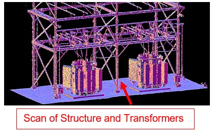
- Dense Point Cloud and CAD Models
- Backpack Hand-held Scan
- Difficult to Access Areas
- 3D Capture – Laser Scan
- Surveys and Topographic Map
- Data Processing and Analysis
- Visual Feature Extraction
- Dense Point Clouds
- 3D CAD Model Generation
- 2D and Volumetric Measurement
- GIS Data Integration
- Engineered Repairs, Designs and Analysis


